
Click to download now, finish the installation quickly, and directly unlock the all-round experience
Screenshots

Click to download now, finish the installation quickly, and directly unlock the all-round experience
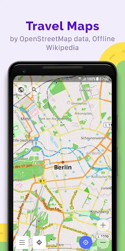
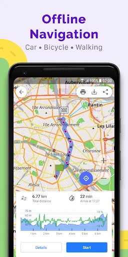
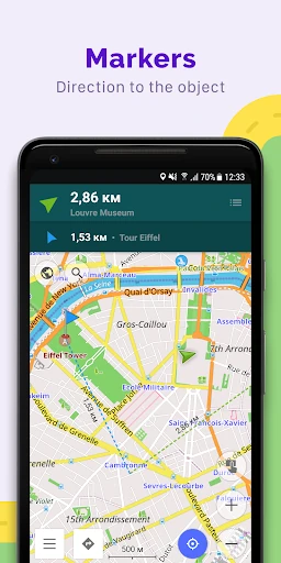
OsmAnd — Maps & GPS Offline is a navigation and mapping app built around OpenStreetMap data. It lets you save detailed maps for use without a mobile connection, making it a practical fit for international travel, rural areas, hiking, cycling, and other routes where signal may be unreliable. It is published by OsmAnd in the Travel & Local category and has 10,000,000+ installs.
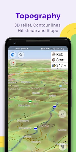
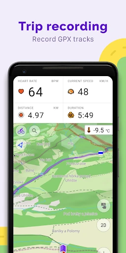
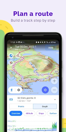
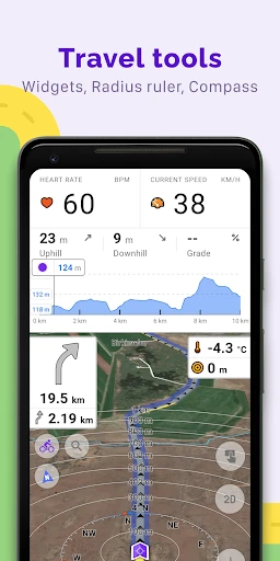
The app supports different map and routing needs rather than focusing only on car journeys. Profiles cover driving, walking, cycling, and other forms of travel, while GPX support lets you import routes or record where you have been. Map layers can add information such as contour lines, hill shading, and specialised styles, giving outdoor users more context than a basic road map.
OsmAnd suits users who want to choose map details, transport settings, route data, and offline coverage for themselves. That flexibility also makes the interface denser than a minimalist navigation app. If you mainly need a quick route across town, the number of controls may feel unnecessary. If you compare it with a simpler alternative, the real question is whether its extra map detail and offline control justify the longer learning curve.
Its open-source approach and privacy-focused design will appeal to people who prefer not to base navigation on extensive data collection. The app holds a 4.48/5 rating from 233,625 reviews, suggesting broad approval despite its more involved design. Choose OsmAnd when dependable offline access, outdoor mapping, and custom route information matter more than having the quickest, least complicated interface.